Forest Trails and Wilderness near Graham County NC
Joyce Kilmer Memorial Forest & Slickrock Wilderness
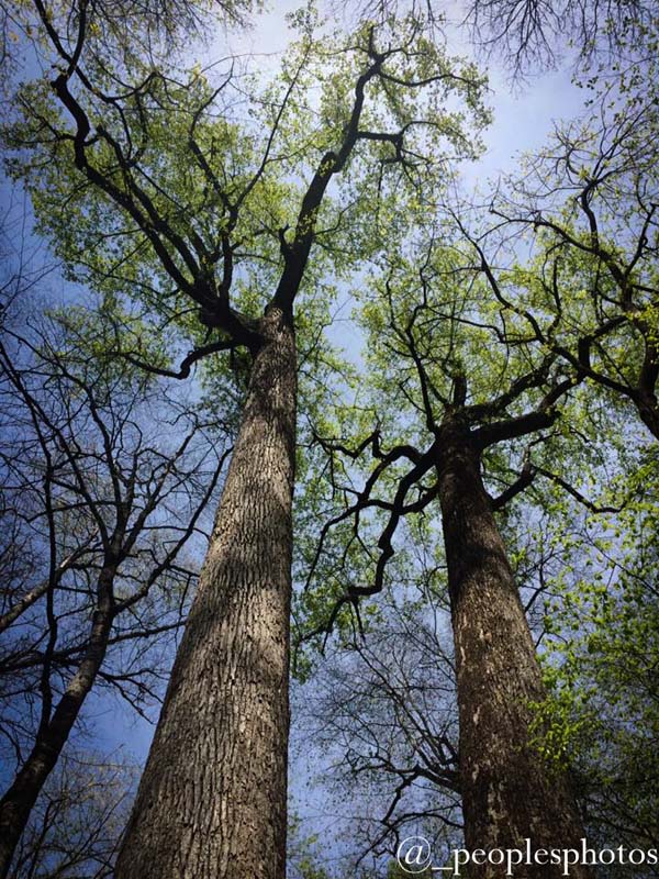
Deep in the backwoods of Graham County lies a 3800-acre tract of the most beautiful forest in America, unmarred and untouched by the hand of man and dedicated to the poet, Joyce Kilmer. Because of its relative isolation until recent years, the wooded area had remained untouched by the woodman's axe. Huge poplars, some 20 feet in circumference, tower 125 feet or more toward the sky. Giant red oaks, magnificent hemlocks, and many other varieties of trees stand as proud neighbors. Once an isolated region known only to a few, Joyce Kilmer Forest has now become a wondrous attraction to many.
Websites: Nantahala National Forest, Partners of the Joyce Kilmer-Slickrock Wilderness
Maps: Joyce Kilmer Memorial Trail, Joyce Kilmer & Slickrock Creek Trails, Graham County Trail Locations
Brochure: Brochure (PDF)
Smoky Mountain National Park
The nation's most visited National Park, with 16 peaks higher than 6,000 feet in elevation, is part of the Southern Appalachian Mountain Range. With dimensions roughly 70 miles east to west and 8 miles north to south, the area is bounded on the east by the Pigeon River and on the West by the Little Tennessee River. These rivers, which have eroded deep swathes through the mountains, run more-or-less westerly and eventually empty into the Mississippi River.
Websites: Smoky Mountain National Park , Smoky Mountain Backcounty Permits, Clingmans Dome
Maps: Smoky Mountains Natational Park Roads , Smoky Mountain Loop,
Nantahala National Forest
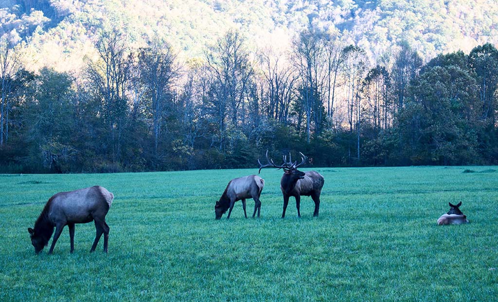
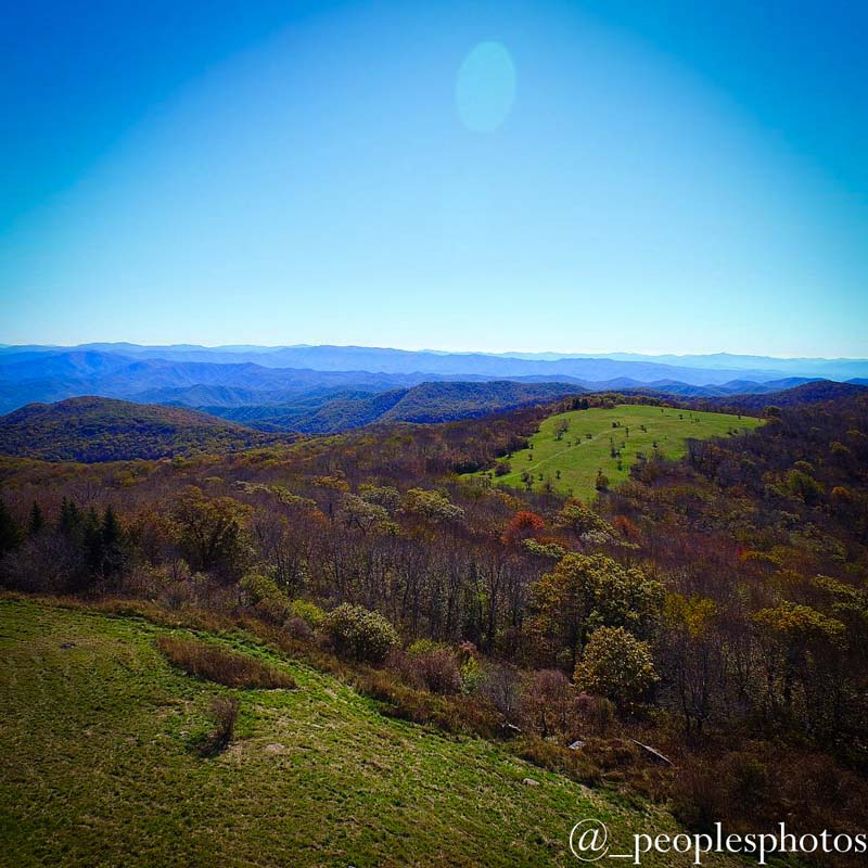
Sixty-eight percent of Graham County is located within the boundaries of the Nantahala National Forest. The Indian word Nantahala means "land of the midday sun", an appropriate name for a forest in which deep mountain gorges and valleys are illuminated only when the noon sun is directly overhead. Within the forest, explore the hiking and mountain biking trails of Tsali Recreation Area, the virgin hardwood forest of Joyce Kilmer and Slickrock Area, and numerous waterfalls.
Websites: Nantahala National Forest, Campground Reservations on ReserveAmerica.com
Cherokee National Forest
Located just across the Cherohala Skyway in Tennessee lies the 640,000 acre Cherokee National Forest which offers hiking, camping, fishing, hunting and much more.
Websites: Cherokee National Forest, Campground Reservations on ReserveAmerica.com
Snowbird Backcountry Area:
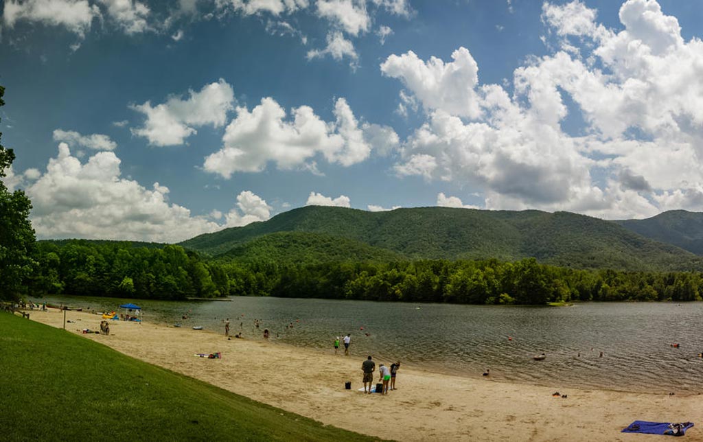
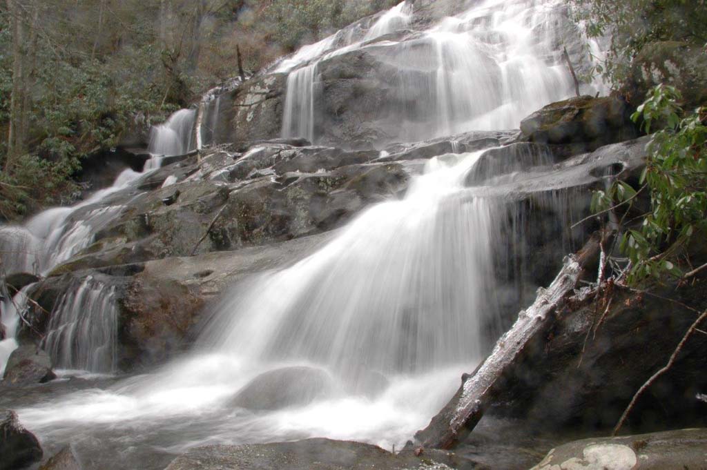
Encompassing some 10,000 acres, the Snowbird Backcountry is one of the favorite areas for hunting, fishing, and primitive camping. This remote area was the hiding place for the Cherokee Indians in 1836 who refused to be transported westward in the Trail of Tears. Big Snowbird Creek offers some of the best native trout fishing anywhere. Big Snowbird Trail climbs some 2,600 feet along the creek with numerous scenic cascades and waterfalls such as Big Falls, Middle Falls, and Upper Falls. The Sassafras Creek Trail features Sassafras Falls, but beware if you continue on this trail as it has not been well maintained.
Websites: Forest Service
Maps: Snowbird Backcountry, Graham County Trail Locations, Graham County Trails, Lakes & Waterfalls, Graham County Trout Fishing Trails
Benton MacKaye Trail
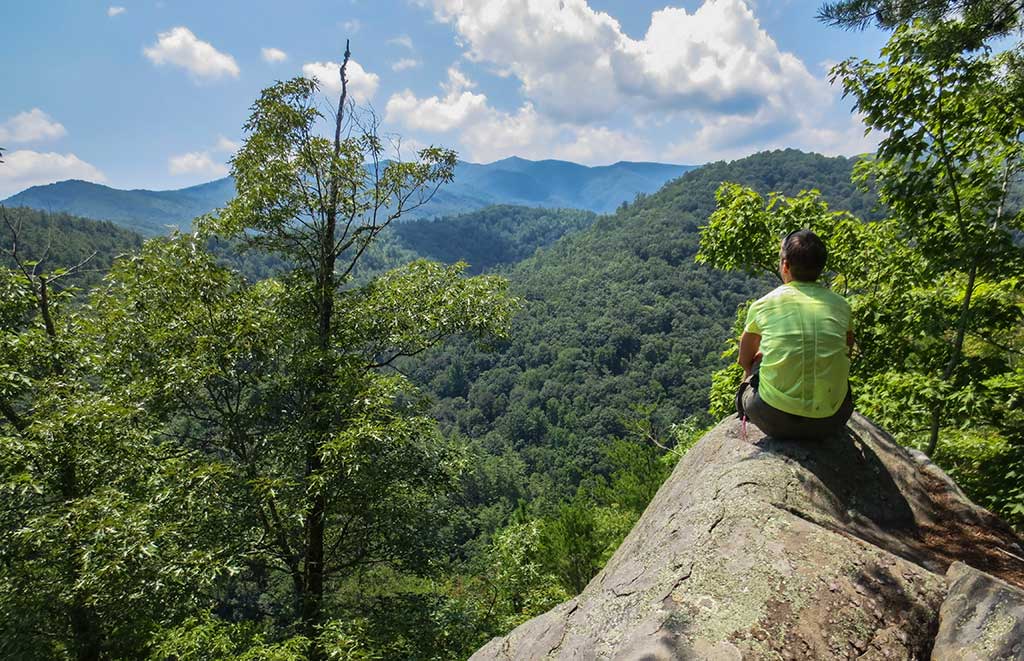
The BMT is 288 miles in total length from Springer Mountain in north Georgia to Big Creek Campground near Sterling, North Carolina in the Great Smoky Mountain National Park. In the Graham County area the trail skirts the Cherohala Skyway near Big Junction at mile 6. It crosses the Cherohala near the state line and winds through the Cherokee National Forest. Crossing back into North Carolina in the Joyce Kilmer/Slickrock Wilderness Area, it descends to Tapoco, follows US129 north to NC28, south along 28 to the Twenty-Mile Ranger Station. It then enters the Great Smoky Mountains National Park where it parallels the Appalachian Train on the North Carolina side to Sterling.
Links: BMTA.org
Bartram Trail
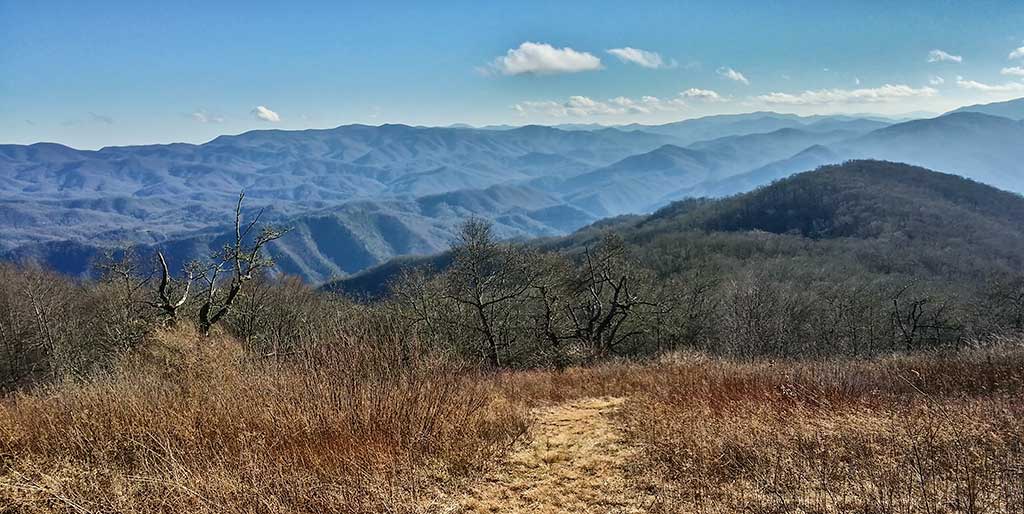
The Bartram Trail follows the approximate route of naturalist William Bartram in the 1770s. The most established section runs 115 miles from north Georgia to Cheoah Bald in Graham County, North Carolina where it intersects the Appalachian Trail.
Websites: NCBartramTrail.org
Appalachian Trail
The AT extends some 2,200 miles from Springer Mountain in north Georgia to Mount Katahdin in Maine. Planned in the 1920s, the AT continues to go through alterations. It enters Graham County near the Nantahala Outdoor Center at Wesser and bisects the county north westerly crossing NC143 at Stecoah Gap before descending to Fontana Dam. This 22 mile trek is considered strenuous.
Links: Appalachiantrail.org
Tsali Recreation Area
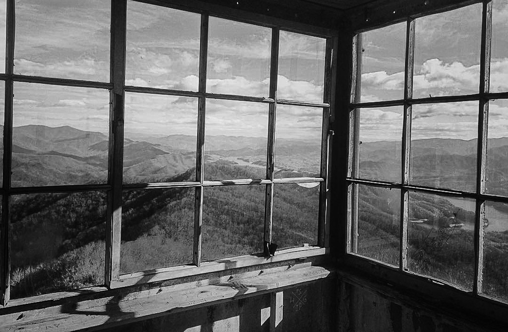
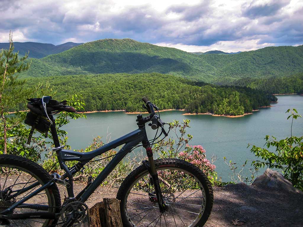
Tsali, named for a Cherokee Indian leader from the 1830s, is located on the northeastern corner of Graham County. This popular single track trail system offers 40 miles of trails in four loops for hiking, mountain biking and horseback riding ($2 a day fee). Trails alternate use by horses or hiking. Sections of the trail provide panoramic views of Fontana Lake with the Great Smoky Mountains National Park rising in the background. The Tsali Campground is public with 41 sites at $15 a night (there are no electric or water hookups). There are showers and toilet facilities. There is also a boat ramp to launch onto Fontana Lake.
Links: Forest Service
Maps: Graham County Trails location, Tsali Recreation Trails
Santeetlah Bike Trail
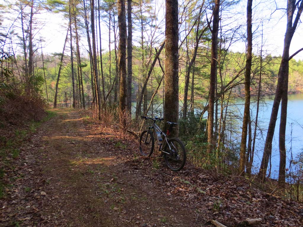
The Santeetlah Lake Trail is a 15 mile trail open to mountain bikes, horses, and hikers. The trail follows a number of Forest Service roads with a short portion of single-track. Large sections of the trail hug the shoreline of Lake Santeetlah offering beautiful mountain lake views. The primary trailhead is located at the intersection of Hwy 143 (NC1127) and Snowbird Road (NC1115). Parking is available at an alternate trailhead. Look for the sign Long Hungry Road (FSR #2586) and Carver Cemetery. There are no facilities and no fees for use of the system.
Links: Santeetlah Bike Trail
